
Cleanup from the flash flood that struck Zion National Park on August 31 continued through Labor Day weekend. According to the National Weather Service (NWS), the Virgin River flowing through the park rose from its normal flow of about 25 cubic feet per second to 5,920 cubic feet per second that day—the fifth-highest reading on record at that gauge. Rainwater pouring down the canyon walls covered roads and left mud behind, and all slot canyons, including The Narrows, were closed. The Utah Department of Transportation (UDOT) closed Zion–Mount Carmel Highway (State Route 9) in both directions between the east entrance and Canyon Junction because of rockfall.
Areas Affected
As of September 5, an NPS official alert dated September 1 said Watchman Trail would remain closed until repairs are complete. The trail begins beside Watchman Campground and had been a popular walk for RV campers that did not require using the shuttle. The large-vehicle restriction on Zion–Mount Carmel Highway, in effect since June 7, also remained in place. RVs and trailers exceeding the length, width, height, or weight limits cannot travel between Canyon Junction and the east entrance. Stage 2 fire restrictions remained in effect throughout the park: campfires and charcoal fires were prohibited at Watchman Campground and South Campground, while propane stoves were permitted.
The concern was the prospect of more rain. The Weather Prediction Center’s (WPC) short-range forecast issued early September 5 called for monsoonal moisture ahead of a slow-moving front to bring the potential for localized heavy rain Sunday afternoon, September 6, from southern Nevada into Utah. The area was assigned a Level 2 of 4 Slight Risk for excessive rainfall. The WPC said urban areas, dry washes, and burn-scar areas were most vulnerable. In the Zion area, soils and drainage channels were already saturated by the August 31 flood, so water could rise more quickly even with the same amount of rainfall.
What RV Travelers Need to Know
For those planning to visit Zion over the holiday weekend, the first rule was to avoid spending Sunday afternoon inside the canyon. Check the flash flood potential rating issued daily by the NWS Salt Lake City office before setting out; if it is rated “expected” or higher, do not enter narrow canyons such as The Narrows or the Subway. Rain falling several miles upstream can fill a canyon, so clear skies overhead are not evidence of safety.
RV travelers should use the south entrance via Springdale as their primary route, in case the rockfall-prone section of State Route 9 closes again. Those who need to travel east should consider State Route 59 from Hurricane to Fredonia or State Route 14 from Cedar City to Long Valley Junction as detours. At campgrounds, identify higher ground in advance in case water rises suddenly, and never drive across a flooded road. A heavy RV can easily become stuck when parked on a mud-covered shoulder, so use the shuttle parking areas and large-vehicle parking in Springdale instead.
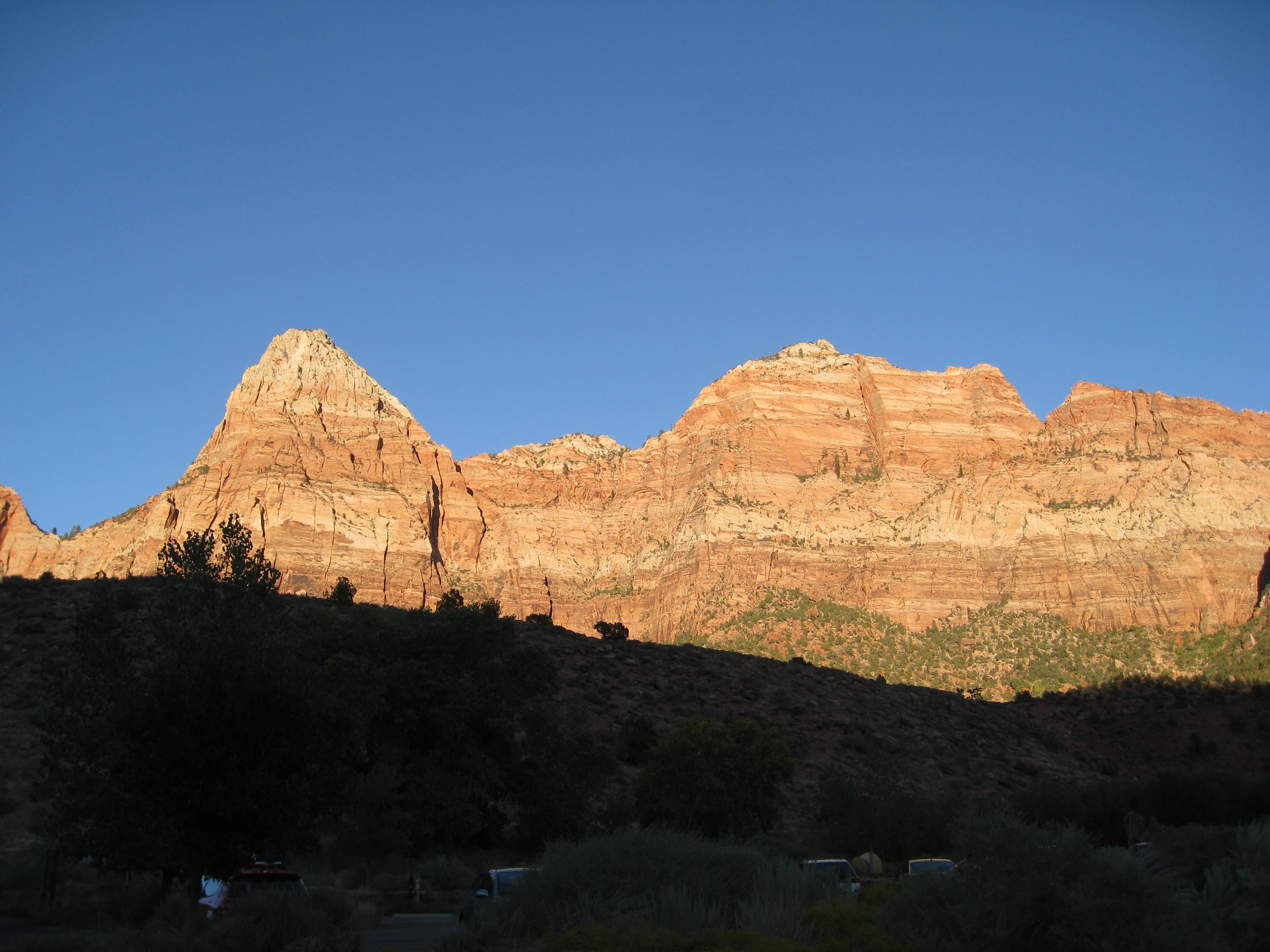
Photo: brewbooks from near Seattle, USA / Original photo. CC BY-SA 2.0. Photo date: 13 September 2010, 17:58. Resized and compressed for display.
