
As of the morning of September 7, the Austin Fire burning in Oregon’s Mount Hood National Forest had reached 12,610 acres and was 19% contained. More than 660 personnel were assigned, while the nearby Narrows Fire held at 302 acres and 27% containment over the weekend. Both fires were confirmed to have been human-caused. Nearly an inch of weekend rain substantially helped reduce fire activity, but rolling rocks and muddy roads on saturated slopes limited firefighters’ work on steep terrain.
Areas Affected
The Forest Service renewed the Austin and Narrows fire closure order effective September 4. Within the Clackamas River Ranger District, OR 224 is closed from Carter Bridge Campground to the intersection of Forest Roads 46 and 57, and the order remains in effect through December 31 unless lifted sooner. Indian Henry, Kingfisher, Lake Harriet, Rainbow, Ripplebrook, Riverford, Riverside, Bagby, and Raab Group campgrounds in the closure area are all closed. The Clackamas County Sheriff’s Office continues to maintain Level 3 “Go Now” evacuation orders for Bagby Hot Springs, Lake Harriet, Timothy Lake, and campgrounds along the Clackamas River east of Carter Bridge.
In the Barlow and Hood River Ranger Districts on the east side of the same national forest, a separate closure order for the Grasshopper Fire took effect September 2. Badger Lake, Bonney Meadows, Fifteenmile, Little Badger, Underhill, Poleallie, Eightmile, Nivels Springs, Lower Eightmile Crossing, Nottingham, Pebble Ford, Sherwood, and Bonney Crossing campgrounds are closed, while Rock Creek Campground, the Pacific Crest Trail, and the Timberline Trail remain open. Since September 6, all three fires have been managed jointly by Northwest Incident Management Team 10.
What RV Travelers Need to Know
The forecast for this week called for diminishing rain, temperatures in the upper 60s, and light winds—conditions favorable for firefighting. That does not mean the entire national forest is open. Since July 1, Mount Hood National Forest has prohibited all open flames, including campfires, charcoal fires, and pellet stoves, throughout the forest, including developed campgrounds, and the restriction remains in effect. Travelers should not plan on cooking with anything other than a propane stove.
The route from Portland through Estacada on OR 224 ends at Carter Bridge. Those with campground reservations near Timothy Lake should first check their reservation site for cancellations, then consult both the Forest Service closure map and county evacuation map. The equestrian parking area at Milo McIver State Park is closed because it is being used as a fire camp, and drone flight restrictions are in place in the airspace around the fires. On roads used by fire vehicles, drivers should slow down and follow directions from personnel on scene. Air quality is improving, but checking fire.airnow.gov once more before departing can help avoid an unnecessary trip.
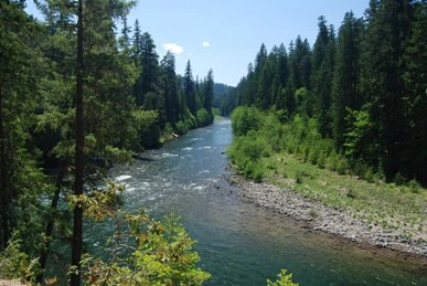
Photo: U.S. Forest Service / Original photo. Public domain. Photo date: 2009-05-30. Resized and compressed for display.
