
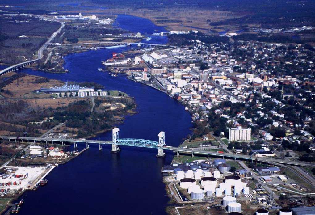
RV travelers planning riverfront sightseeing in Wilmington, North Carolina, should check both high-tide times and access roads before leaving the campground. A Coastal Flood Advisory issued by NWS Wilmington at 2:50 a.m. Eastern Daylight Time (EDT) on September 11 applies to the lower Cape Fear River from 9 a.m. to noon that day. Up to 0.5 feet of flooding above ground is forecast in low-lying areas along the riverfront and near tidal waterways.
This issuance addresses the potential for minor flooding in low-lying riverfront areas. It is not an observation that the entire downtown area is flooded, nor is it notice that any specific road has already closed. Still, flooding on portions of access routes could require visitors to change the order of their stops or take a detour, so destination operations and road conditions should be checked separately.
Areas Affected
The advisory covers the lower Cape Fear River inland in New Hanover County, including downtown Wilmington. NWS specifically identified the lowest sections of USS North Carolina Road and Battleship Road. In downtown Wilmington, water from storm drains may spread onto Water Street just south of Market Street, the forecast said.
There is reason to check the tides again over the weekend. The tide forecast table included with the same issuance anticipates minor flooding effects again around 11 p.m. on the 11th, 11 a.m. on the 12th, and midnight and noon on the 13th. Times are rounded to the nearest hour. The table does not extend the advisory, which ends at noon on the 11th, through the weekend; visitors afterward should check newly issued advisories and on-site notices.
What RV Travelers Need to Know
When traveling from a campground to the riverfront, consider the tide not only at arrival but also when it is time to return. NWS advises allowing extra time when travel is necessary, taking possible road closures into account. For an RV visit downtown, it is better to confirm access to the destination before departure than to drive into pooled water and then try to turn around.
Do not proceed if the depth of water covering the road is unknown or if barricades are in place. NWS flood-safety guidance warns that roads beneath floodwater may be damaged and that even large vehicles, including trucks, can be swept away by moving water. A high-riding vehicle or the fact that another vehicle has passed through does not establish that travel is safe.
The water level in a high-tide forecast should not be confused with the actual depth of water on a road. The feet shown in the tide table are measured against a specified tidal datum, while this advisory forecasts up to 0.5 feet of flooding above ground. On the day of a visit, do not decide whether to proceed based on a single number; follow the latest guidance and on-site barricades. Leaving flexibility in other plans in case a riverfront visit must be postponed is a practical response for this weekend’s trip.
Source: NWS Wilmington Coastal Flood Advisory and tide forecast / NWS flooded-road safety guidance
Photo: USCG / Original photo page (public domain)
