
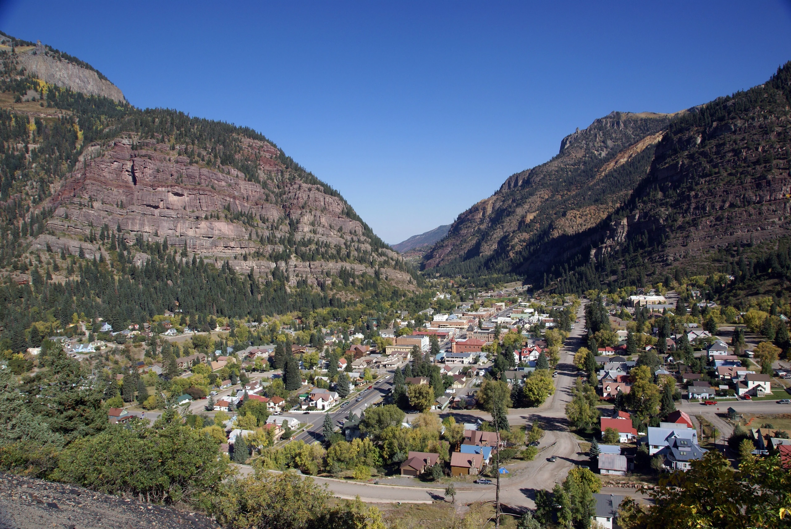
The Gold Mountain Fire, which began north of Ouray, Colorado, in late June, burned 39,674 acres and entered the cleanup phase at 87% containment. While the fire itself has eased, slopes stripped of forest remain at risk of flash floods and debris flows whenever heavy rain arrives.
Areas Affected
The fire began June 27 on Forest Service land near County Road 14, about 2 miles northeast of Ouray. It grew to 570 acres on its first night and reached 4,276 acres the following day. As it continued to spread, evacuation orders were issued for Panoramic Heights, Lake Lenore, County Road 14A, Black Lake, Cow Creek, and Whispering Pines, and a shelter was established at Ridgway Secondary School. Containment has since risen into the 87% to 90% range, while crews continue structure protection and mop-up work. Officials say slopes along U.S. Route 550 where vegetation was lost in the fire remain vulnerable to flash flooding and debris flows.
What RV Travelers Need to Know
Burned areas can no longer absorb rainwater effectively after losing roots and vegetation, meaning clear skies can quickly give way to flash flooding filled with muddy runoff. If you plan to camp near U.S. Route 550 or the Gold Mountain Fire burn scar, check daily forecasts for afternoon monsoon thunderstorms and avoid setting up a tent or RV near canyons or dry creek beds. Local evacuation orders and road closures issued by the county or Forest Service can change quickly, so it is advisable to check both Ouray County Emergency Management and the wildfire map on InciWeb. Fire-use restrictions may still be in place in some areas, so review local regulations before using a campfire or grill.
Photo: Bede735 / Original photo. CC BY-SA 3.0. Photo date: 2010-10-02 10:15:04. Resized and compressed for display.
