
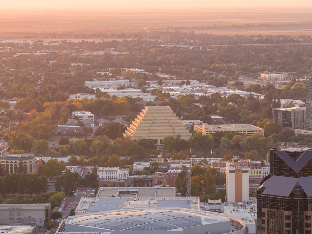
Strong north winds and exceptionally low humidity converged across the Sacramento Valley and nearby foothills. A Red Flag Warning updated by the National Weather Service Sacramento office at 3:05 a.m. Pacific Time on September 14 was in effect until 5 p.m. that day. North and northwest wind gusts of 20 to 35 mph and relative humidity of 10% to 20% were forecast.
Areas Affected
The warning area included the greater Shasta area; parts of Tehama, Glenn, Colusa, Butte, Sutter, and Yuba counties in the Sacramento Valley; and nearby foothills. RVs traveling along Interstate 5 could also encounter dry winds on exposed stretches in Tehama and Glenn and Colusa counties.
The National Weather Service expected north winds to be strongest in the morning and said that any fire could spread quickly. This issuance was not an on-scene report of an active fire; it described weather conditions that could drive rapid fire growth if one started.
Campgrounds and public lands may have different fire-use rules even within the same warning area. An open campground should not be taken to mean charcoal or wood fires are allowed; visitors should check the managing agency’s fire restrictions for that day.
What RV Travelers Need to Know
While the warning was in effect, travelers should avoid wood and charcoal fires and use gas equipment only where local rules permit it. Vehicles and trailers should be parked on pavement or in designated vegetation-free areas so hot components do not contact dry grass.
Fold up awnings and lightweight gear, and tidy the campsite to prevent trash or embers from blowing away. Generators should be placed securely away from dry grass, with the manufacturer’s required clearance maintained; any local restrictions on their use take priority.
The warning could be extended after 5 p.m. Travelers should check Caltrans QuickMap along with fire and closure notices from the agency managing their destination, and should move promptly toward a safe direction if they see smoke or an actual fire.
Verified sources: National Weather Service Red Flag Warning / National Weather Service Wildfire Safety / Caltrans QuickMap
Photo: Leo_Visions / Photographer page / Original photo file (Unsplash License)