
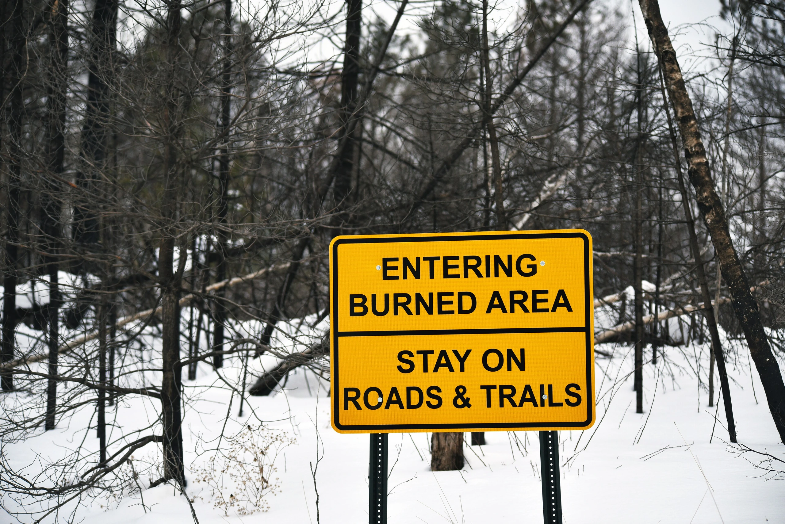
A wildfire emergency closure order issued after lightning-sparked fires began July 7 in Minnesota’s Superior National Forest has remained in place for nearly two months. The Forest Service reopened campgrounds and trails in stages during August, but the order itself remains in effect through October 1, so anyone planning a camping trip should check the latest closure map before departing.
Areas Affected
Emergency Closure Order No. 09-09-00-26-10 applies to areas across Lake, St. Louis, and Cook counties from noon on July 15 through noon on October 1, or until rescinded. Trails End Campground was the first to reopen on July 29, followed by the Kawishiwi and LaCroix districts on July 31, popular campgrounds in the Ely area on August 7, and additional areas in subsequent reopenings on August 13 and 25. The Forest Service updated its closure list and map again on August 31, publishing the most current open and closed areas as of September 1. Fire danger is listed as low in both the eastern area—Gunflint and Tofte districts—and the western area—LaCroix, Laurentian, and Kawishiwi—but some sections remain closed. Violations may result in fines of up to $5,000 for individuals or $10,000 for organizations, or imprisonment for up to six months.
What RV Travelers Need to Know
The Boundary Waters Canoe Area Wilderness (BWCAW) is also reopening in stages, but it is not entirely open. Before leaving, travelers should review the Forest Service’s latest area list (Exhibit A) and map (Exhibit B), as well as fire-status information on InciWeb. Lower fire danger does not permit entry into closed areas; routes with signs or barricades should be avoided. Campers planning a campfire should contact the district office in advance, as separate fire restrictions may still apply even in open areas.
Photo: Courtney Celley / U.S. Fish and Wildlife Service / Original photo. Public domain. Photo date: 14 January 2023, 10:35:23. Resized and compressed for display.
