
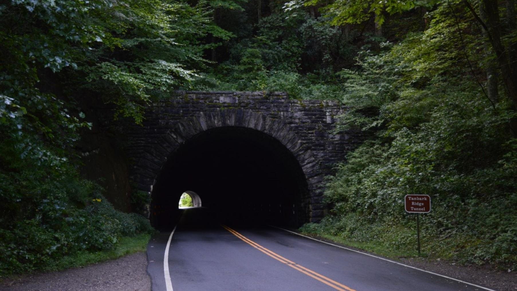
The 469-mile Blue Ridge Parkway, running from Virginia to North Carolina, is one of the East’s best-loved driving routes. But RV travelers planning to cover its full length need to account for low tunnels, campgrounds that mostly lack electric hookups, and campgrounds that remained closed during the 2026 season.
26 Tunnels, With the Lowest Just Over 10 Feet
The parkway has 26 tunnels in all: 25 in Virginia and one in North Carolina. The two lowest are Rough Ridge Tunnel at Milepost 349 and Pine Mountain Tunnel at Milepost 399, each with clearance of just over 10 feet at the roadway centerline. Because the tunnels are arched, clearance drops substantially toward the sides. Rather than relying only on posted clearances, measure your RV’s actual height—including roof-mounted air conditioners and antennas—and leave an adequate margin. Class A motorhomes commonly stand 12 to 13 feet tall, while fifth wheels often reach 12.5 to 13.5 feet, so it is safer to map alternate routes in advance for the southern low-clearance tunnel sections.
Where to Stay
Most campgrounds along the parkway do not offer electric, water, or sewer hookups, but they do provide drinking water, restrooms, firewood sales, and dump stations. Otter Creek Campground at Milepost 60.8 in Virginia, at 649 feet above sea level, is the lowest point on the entire parkway. At Rocky Knob Campground at Milepost 167.1, 27 of the 106 sites are designated for RVs. In North Carolina, Julian Price Campground at Milepost 297 and Mount Pisgah Campground at Milepost 408.8 are among the principal options. At an elevation of 4,980 feet, Mount Pisgah remains cool at night even in midsummer. Crabtree Falls Campground and Linville Falls Campground remained closed during the 2026 season, so travelers who included either one in their itinerary needed to arrange alternatives in advance. Reservations were available only by phone at 1-877-444-6777 or through Recreation.gov.
Planning Around Road Work and Speed
Road maintenance projects were scheduled in various sections throughout the 2026 season, with possible lane restrictions or reduced speeds depending on the area. Many stretches of the parkway have a 45 mph speed limit, and sharp curves and climbs are frequent. It is best to plan shorter daily driving distances and allow time to stop at overlooks. If heading to a high-elevation campground such as Mount Pisgah, bring warm bedding even in summer, as temperatures can fall sharply toward evening.
Data Source: NPS API (developer.nps.gov) / Recreation.gov RIDB
Photo: NPS / Laura White / Original photo. Public domain.