
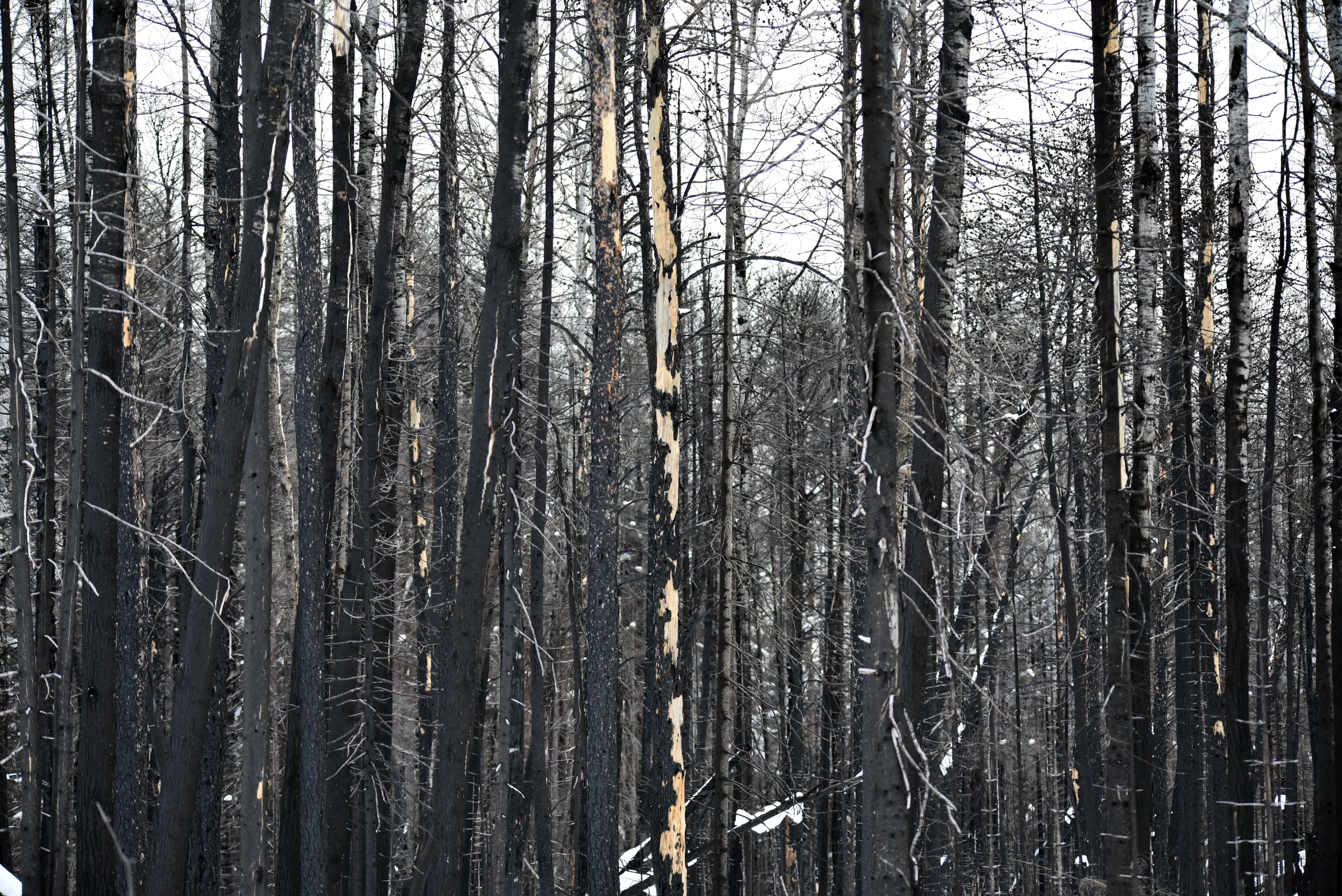
A wildfire sparked by lightning on July 7 burned several areas of Minnesota’s Superior National Forest, and the Forest Service’s emergency wildfire closure order remained in effect through October 1. Designated national forest areas across Lake, St. Louis, and Cook counties remained closed to entry, and the map showing the closure area was updated again as of September 1.
Areas Affected
According to the Forest Service order, the closure began at noon on July 15 and remains effective until noon on October 1, or until it is rescinded sooner. Entering the closure area is prohibited. Violations may result in fines of up to $5,000 for individuals or $10,000 for organizations, or imprisonment for up to six months. Campgrounds near Ely reopened on August 7, while facilities in the Kawishiwi and LaCroix ranger districts reopened earlier on July 31, and Trails End Campground reopened on July 29. Openings and closures have occurred on an area-by-area basis as wildfire conditions changed. Portions of the Boundary Waters Canoe Area Wilderness (BWCAW) remained subject to the closure order.
What RV Travelers Need to Know
RV travelers or canoe campers planning a trip to the area should check the Forest Service’s latest list of affected areas and maps before leaving. Even reopened locations may close again as conditions change, so travelers should confirm their plans again one or two days before a reservation. The Superior National Forest office in Duluth, at 218-626-4300, can provide the current status of individual campgrounds and trails.
Even in reopened areas, lingering wildfire smoke may worsen air quality, so travelers with respiratory conditions should check the Air Quality Index in advance. Fire-use restrictions may apply in some areas; check posted notices before building a campfire.
Data Source: USDA Forest Service (fs.usda.gov)
Photo: Courtney Celley / U.S. Fish and Wildlife Service / Original photo. Public domain. Photo date: 14 January 2023, 10:30:15. Resized and compressed for display.
